Tactile Vision
3D modeling for a visually impaired land owner.
The Design Challenge and Our Response
Client See3D
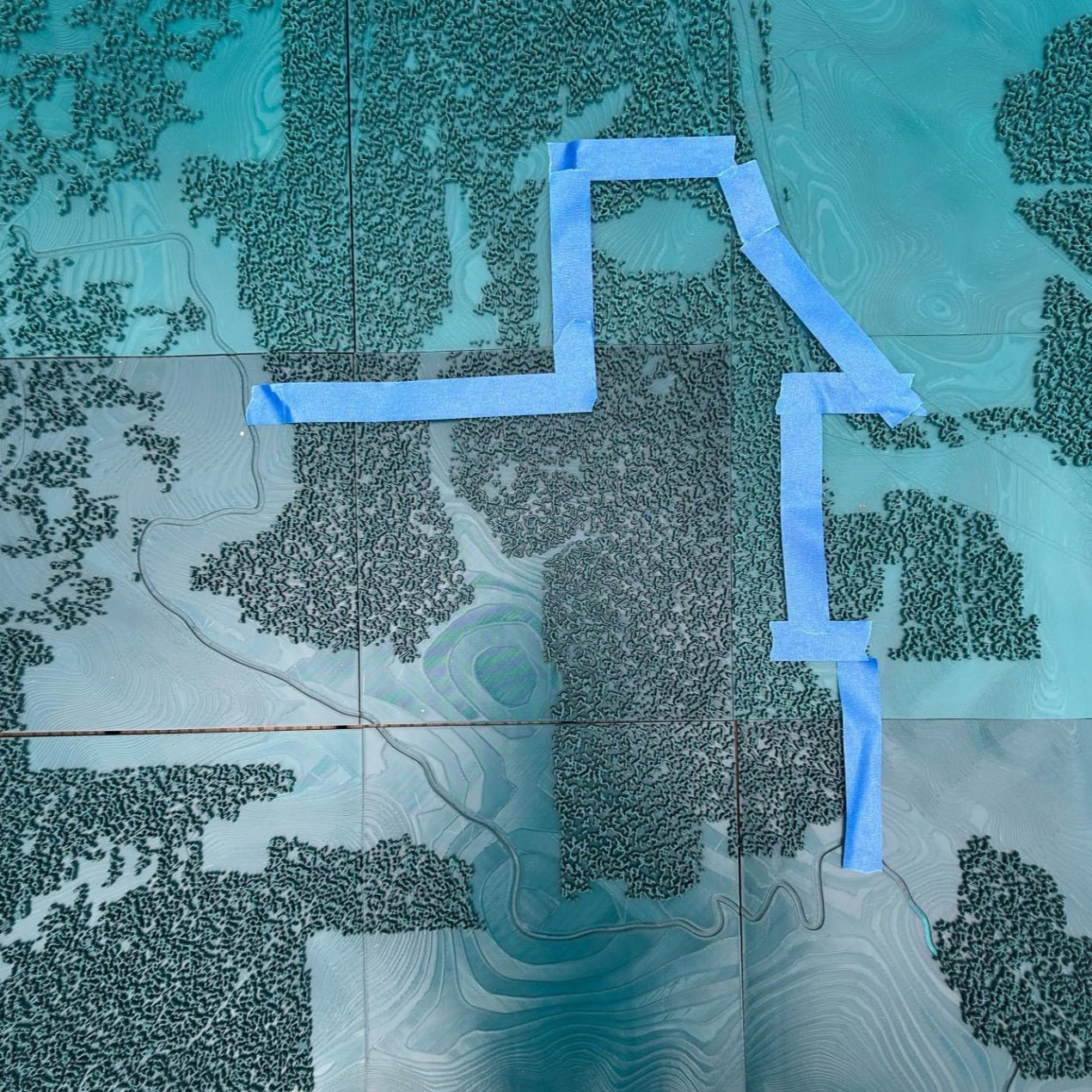
A visually impaired landowner needed a 3D topographic map of their land including some specific freatures, multiple roads, an interstate, a cemetary, trees, and houses. and a physical representation of the property line so the property owner could follow along with work by contracters on their land.
Full Topographical Map with Property line marked with tape
Final Iteration of the Topographic Map Tiles in Progress
First Iteration of 3D printed Topography
Full Topographical Map with Trees
I created a 3d model for 3d printing, and had multiple itterations with the 3d printing organization in order to create a model that the landowner could use affectively. We ended up increasing the size of the property line to make it easier to feel, and the trees were eventually removed to make it easier to feel the contours of the land. We also went through multiple itterations in order to figure out how best to print the model to make the topography easy to feel while also being true to the real topography of the land. Once the final model was delivered to the landowner, they were able to use it to follow the work of contractors on their land, and then mount it to their wall as a piece of art that represents their land.


